The main points
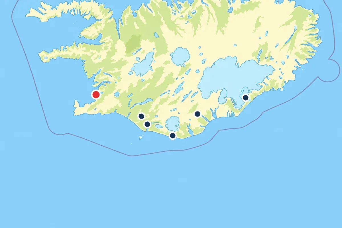
- Route 1 runs 236 miles (380 kilometers) from Reykjavik to Jökulsárlón, a five-hour direct drive or seven to eight hours with South Coast stops.[1]
- Seljalandsfoss is the stop where the path curves behind the falling water, and the tour booked from this site lists it among its stops.[2]
- Vík church sits on the hill above the village, and the Reynisdrangar stacks offshore carry a troll legend about daylight turning stone.
- Katla lies under the ice cap of Mýrdalsjökull, and Eyjafjallajökull Volcano appears as a named stop on one of the South Coast day tours.[3]
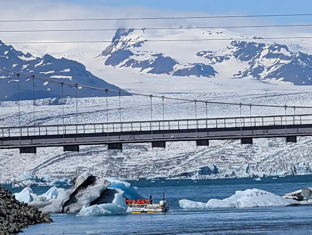
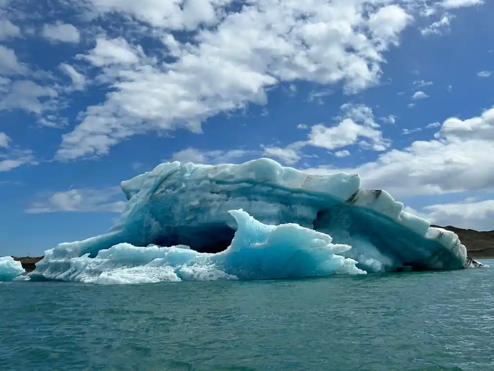
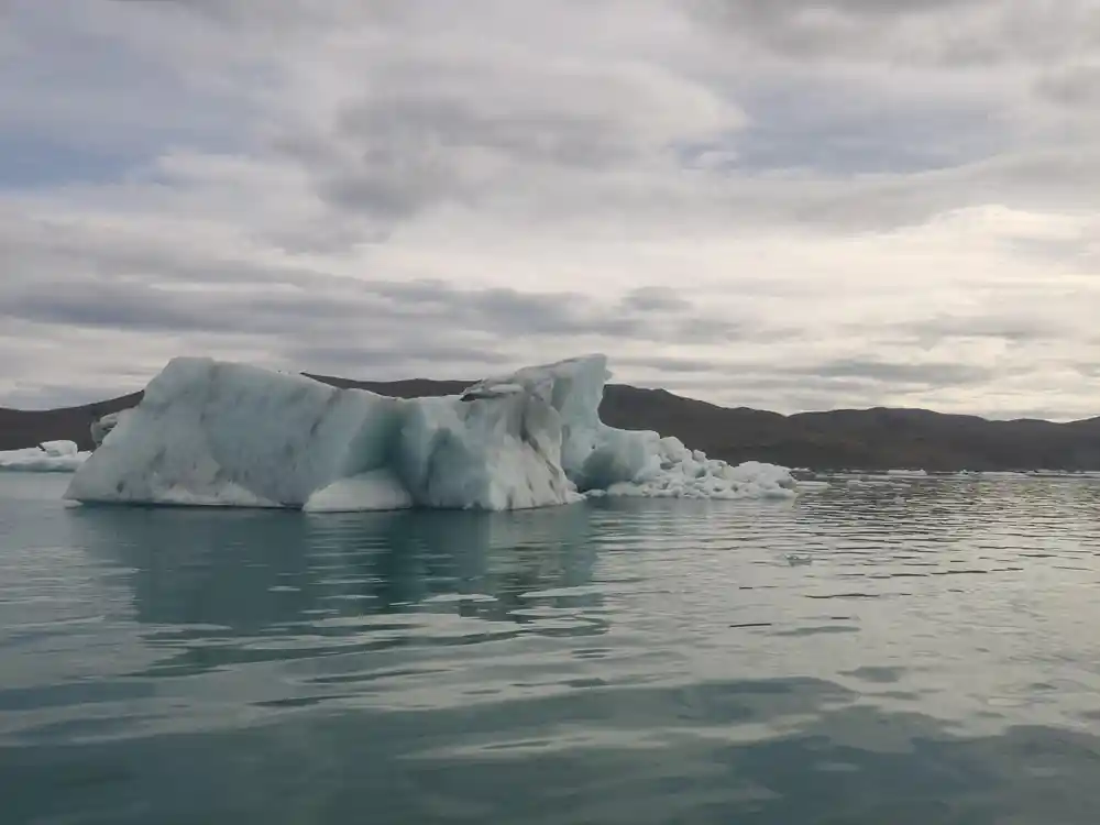
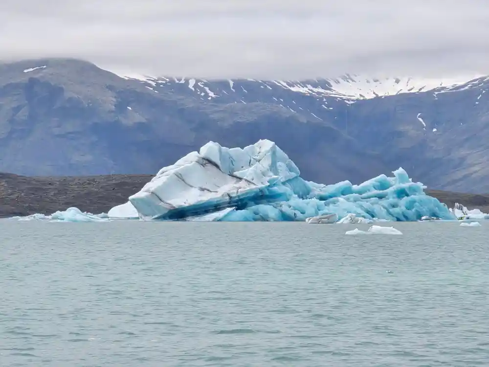
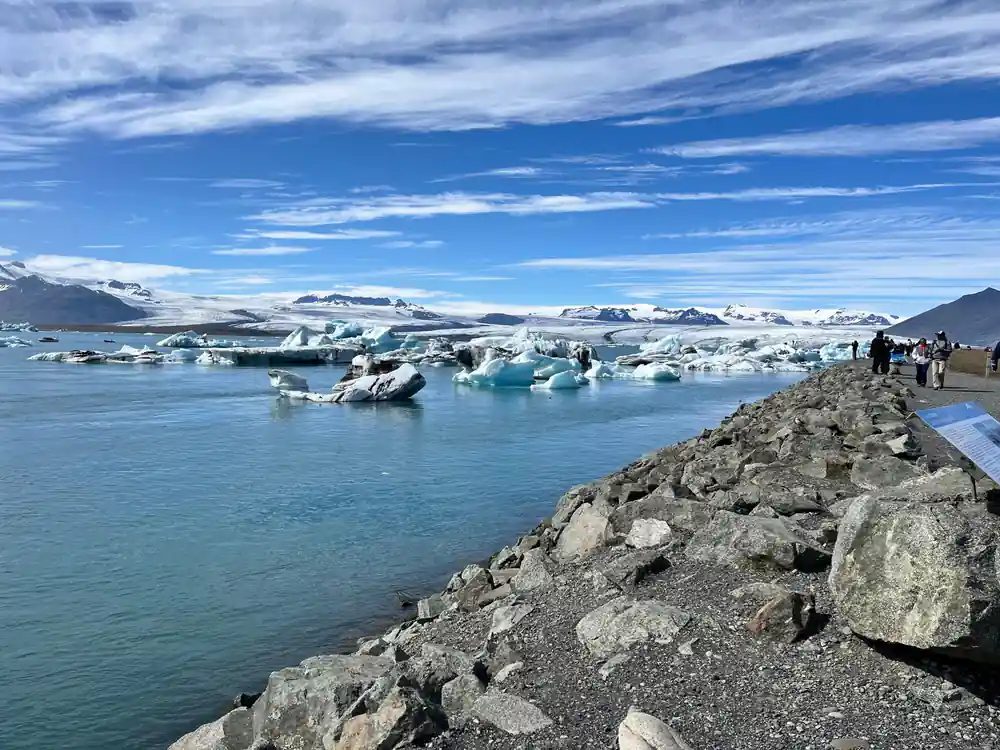
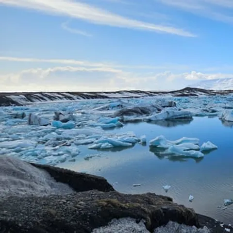
- Jökulsárlón is 248 meters (814 feet) deep and the deepest lake in Iceland, fed by the Breiðamerkurjökull outlet glacier.[4][5]
- Top choice Jokulsarlon & Diamond Beach from US$232 Duration14 hours[2]Rating4.67 from 3,935 reviews[2]Route stopsHvolsvöllur, Kirkjubæjarklaustur, JökulsárlónPickupCheck availability for pickup options[2] Check availability
- South Coast & Diamond Beach from US$231 Duration14.5 hours[3]Rating4.54 from 1,494 reviews[3]Route stopsEyjafjallajökull, Skógafoss, Diamond BeachPickupCheck availability for pickup options[3] See this tour
- Lagoon Boat Ride Day Tour from US$288 Duration14 hours[6]Rating4.61 from 268 reviews[6]Route stopsLagoon boat ride, Diamond Beach, StjórnarfossPickupCheck availability for pickup options[6] See this tour
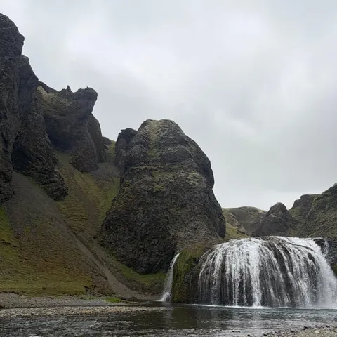
Duration: The boat tour is 1 hour and 15 min - Total duration approx 2 hours. Price: from 16.900 ISK
Our verdict on the South Coast day tour
Booking and planning
On the road and at the stops
Walk Behind Seljalandsfoss Waterfall
Seljalandsfoss is the moment the South Coast stops being scenery and starts being an experience. The water drops in a thin, steady ribbon off a cliff edge, and the path curves around the rock so that you pass behind the falling water itself. You will get wet, and you will not mind. On a sunny day the spray throws rainbows across the grass; on a grey day the whole cliff disappears into mist and the sound is the only thing you notice. The tour booked from this site lists Seljalandsfoss among its stops.[2]
Wear a waterproof shell and shoes with real grip. The ground behind the waterfall is slick and can be icy in cold weather, and the spray soaks anything that is not water-resistant. A dry bag or a plastic sleeve for your phone is worth the small trouble. If the group is moving quickly, hang back for a moment, let the crowd pass through the narrow section, and take your photos in the quiet that follows.
Hvolsvöllur and the Njál's Saga Connection
Hvolsvöllur is a small service town on flat farmland below a long ridge, and it is where the road, the weather and the stories all seem to pause at once. This is Njál's Saga country. The saga follows feuds, lawsuits and loyalties across these farms, and many of the places it names are within sight of the highway. You do not need to have read it to feel the weight of the landscape: the old farmsteads sit in the same green fields that sheep graze today, and the ridges above them still decide where the light falls.
Hvolsvöllur appears in the route of the tour booked from this site, so you will likely get a short stop for food, fuel and a stretch of the legs.[2] It is a sensible place to fill a water bottle and buy snacks before the long eastern stretch, where services thin out. If the sagas interest you, read a short summary on the bus on the way out; the landscape will make far more sense on the way back.
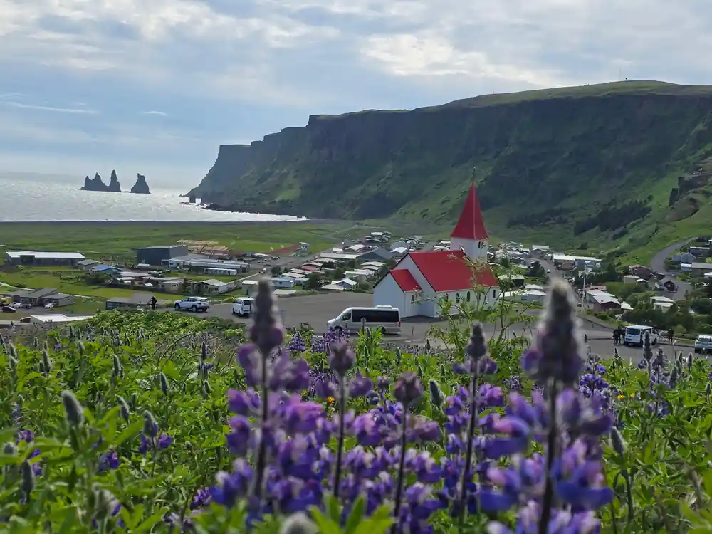
A church on the hill above the sea, with summer flowers along the slope
Katla and Eyjafjallajökull: Volcanoes That Reshaped the Coast
Two volcanoes dominate the story of this coast. Katla sits under the ice cap of Mýrdalsjökull, and the farms and villages below it have always lived with the knowledge that ice can melt from beneath and send water and ash down the valleys. Eyjafjallajökull, further west, is the one whose ash cloud grounded flights across Europe, and it appears as a named stop on one of the South Coast day tours listed for this route.[3] Seen from the road on a clear day, it looks like nothing much: a broad ice cap above green fields.
The black sand under your boots and the dark bands in the cliffs are volcanic rock, ground down by ice and sea. That is the shape of this coast: eruptions build the land, glaciers and waves rearrange it, and the beaches keep the colour of the material they were made from. Guides watch the weather and the seismic reports closely, and plans can shift when conditions change. A day here is a conversation with the island rather than a fixed schedule.
Kirkjubæjarklaustur and the Legend of the Nun
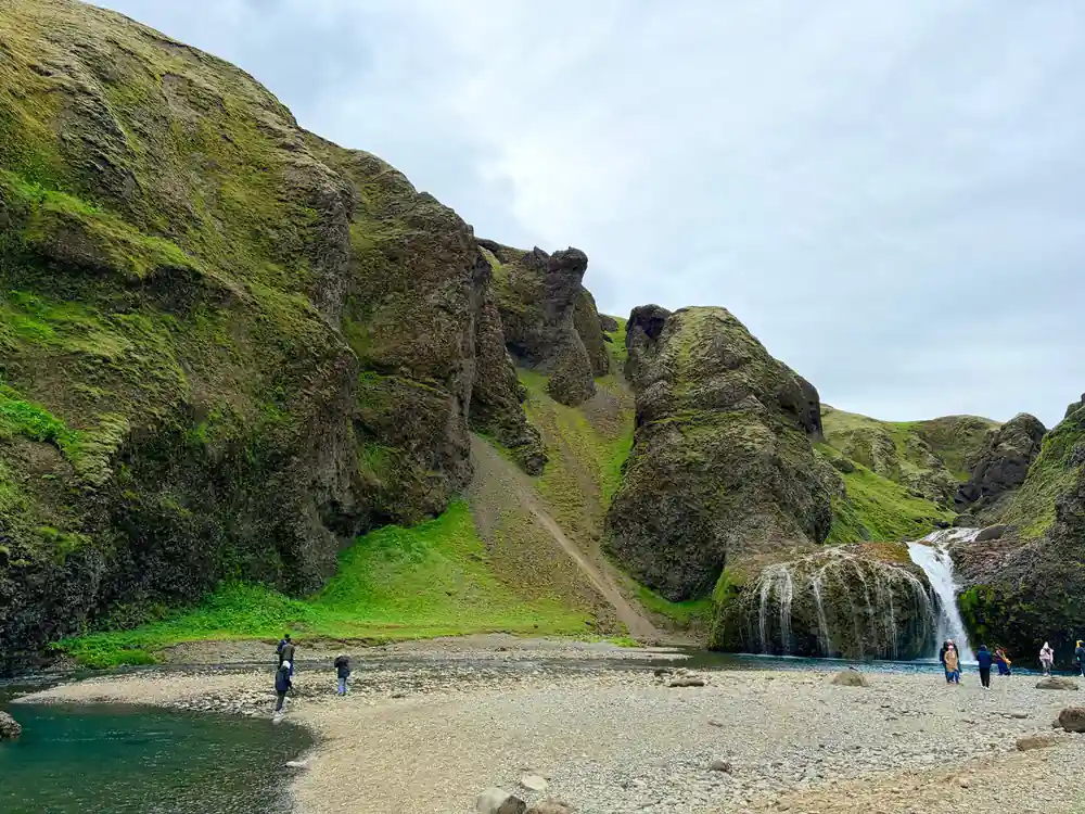
Kirkjubæjarklaustur takes its long name from a church farm that was once a cloister, with kirkja for church and klaustur for cloister. A community of nuns lived here in the Middle Ages, and the place has kept their memory in its names. The story most often told is of a sister who was said to have sunk into the ground at a rock near the chapel, and that rock is still pointed out on the walk from the village. It is a quiet stop, with a small waterfall and strange shapes in the lava.
Kirkjubæjarklaustur appears among the stops listed for the tour booked from this site.[2] It sits roughly halfway along the drive, which makes it a natural break for the coach and a good moment to look at the lava formations while others queue for coffee. Bring a light rain jacket even on a bright morning. The weather here can turn between one stop and the next, and the short walk out to the water is exposed.
from US$232
The tour booked from this site runs 14 hours and lists Hvolsvöllur, Kirkjubæjarklaustur, Jökulsárlón and Vík among its stops.[2]
Hidden People and Beliefs Along the Route
Icelandic folklore is not a museum piece here. Huldufólk, the hidden people, are said to live in rocks and hills, and stories about them are told with a straight face by people who also read the seismic reports. Along the South Coast, a lone boulder in a field or a rock sitting in the middle of a lava flow often has a story attached: this is where the hidden people live, and the farmer has no intention of moving the stone.
Trolls are the other half of the folklore, and their stories usually come with a lesson about daylight. The sea stacks off Vík are said to be trolls that were dragging a ship ashore when the sun rose and turned them to stone. Other trolls became the rocky ridges you pass beneath on the road. You do not have to believe any of it to enjoy it, and a good guide will tell these stories well, especially on the long return leg when the coach is quiet and the light is going.
Farming Life Beside Advancing Glaciers
Between the mountains and the sea, the South Coast is farm country. Sheep graze the green strips, hay is cut in late summer, and farms sit wherever the land is flat enough and drains well enough. The glaciers are close neighbours. Breiðamerkurjökull is the Vatnajökull outlet glacier that feeds Jökulsárlón glacier lagoon.[5] Where the ice has pulled back, it leaves bare ground that is slowly colonised by moss, then grass, then the first tough plants.
The lagoon at the end of the drive is deep: at 248 meters (814 feet), Jökulsárlón is the deepest lake in the country.[4] Seals are sighted on a regular basis there, sometimes from the shore and closer from a boat.[10] If you would rather not do the whole drive twice in one day, Hotel Jokulsarlon is an accommodation option near the lagoon.[11] Staying overnight turns a long day out into an evening and a morning of quiet water.
Vik, the Church on the Hill and the Reynisdrangar Trolls
Vík, more fully Vík í Mýrdal, is the last real village before the long empty run east. The Vík meaning in Icelandic is simply a bay, which suits the wide curve of dark sand the village looks onto. The Vík pronunciation is friendlier than it looks: say it like veek, with a long ee. Up on the hill above the houses sits the church at Vík in Iceland, a quiet landmark with a view over the black sand, and Vík church is where people head when the cloud lifts.
Offshore, the Reynisdrangar sea stacks rise straight out of the surf, said to be trolls caught by daylight. The beach below, Reynisfjara, is black sand with basalt columns and a cave in the cliff, and it is also dangerous: waves run far up the beach without warning, so stay well back from the water and never turn your back on the sea. From Vík, the distance to Jökulsárlón Glacier Lagoon is 192 kilometers (118 miles) one way.[12] That is the stretch the coach covers after the village, past the last farms and out onto the glacial outwash plain.
Day tour lengths from Reykjavik
Durations as listed by GetYourGuide for each tour.[2][3][6][13]
What the South Coast day tours cost
From-prices in US dollars as listed by GetYourGuide.[2][3][6][14]
When to go on the South Coast
Plan your South Coast day
Book the day tour
The tour booked from this site takes 14 hours, with pickup available and free cancellation up to 24 hours in advance.[2]
Pack for wet weather
Bring a waterproof shell, warm layers and shoes with grip. Seljalandsfoss spray and the black sand at Reynisfjara are both wet underfoot.
Plan lagoon time
Boat tours at the lagoon run May-Nov and take 30-40 minutes; ice caves in the Vatnajökull region are a winter option.[7][8]
Allow for the drive
The lagoon sits 236 miles (380 kilometers) east of Reykjavik, seven to eight hours with South Coast sightseeing stops.[1]
Watch the weather
Coastal weather changes fast, so check road and tour status the day before and keep a flexible plan for the glacier stops.
See the South Coast and finish at Jokulsarlon Glacier Lagoon
from US$233Reserve now & pay later